How to get to Poulnabrone Dolmen County Clare
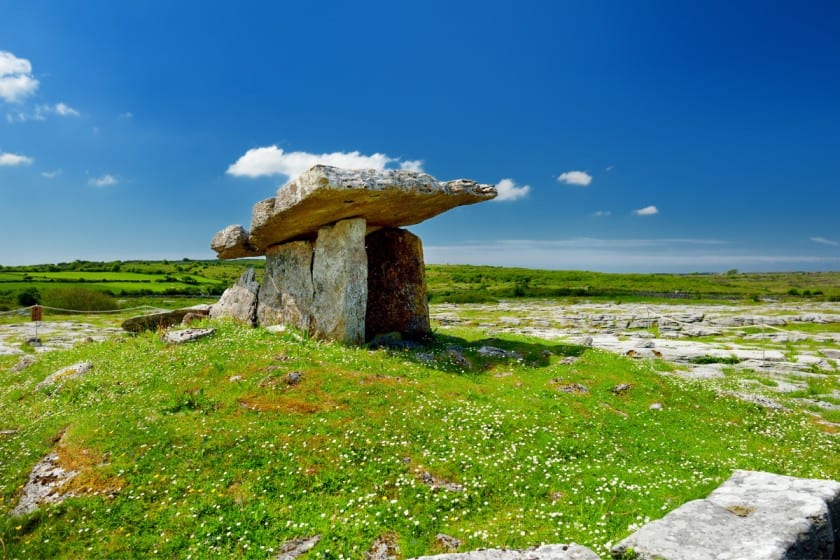
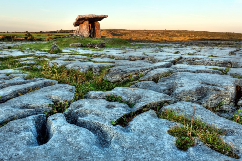
Poulnabrone is an old portal tomb dating back thousands of years, it is located in the region of County Clare. This super old site is located in the area of Kilcorney close to the R480 road. Poulnabrone is located around 8 kilometres from the village of Ballyvaughan.
The site is FREE to visit, its located just a few minutes drive from Caherconnell Fort and sheepdog demonstrations.
There is a FREE car park just off the road next to the dolmen tomb, so you can park for FREE and stroll in and look at this very interesting portal tomb site and take some photos. Some of the roads to Poulnabrone can be narrow, be warned that some farm machinery will be using the roads so please beware of your surrounding and take your time and be careful.
Location of Poulnabrone Dolmen
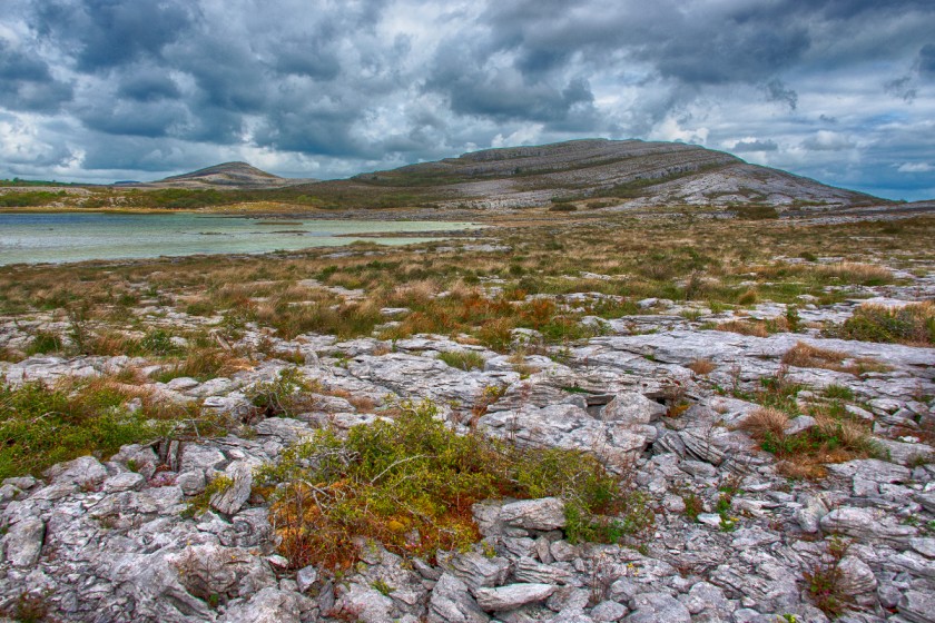
Poulnabrone dolmen GPS Coordinates are – 53.0487° N, 9.1400° W
Latitude: 53° 02′ 33.50″ N
Longitude: -9° 08′ 14.30″ W
Link on Google map here to guide you there!
Parking
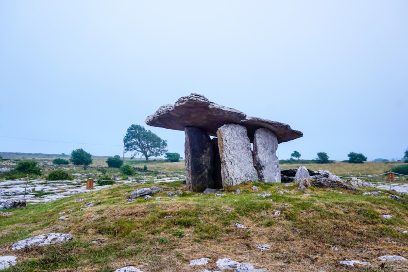
There is a FREE car park on the site of Poulnabrone, the car park can for cater around 30 cars, large tour buses use this car park at times, please be aware there are no toilets at this site.
Directions from Limerick to Poulnabrone
This route will take around 1 hour by car
- Follow the sign for Shannon Airport/Ennis Galway
- Get onto the N18 motorway
- Take a left turn off the motorway and take N85 exit for Ennis/ Ennistymon
- Drive on N85 for around 1 kilometre
- Arrive at Skehanagh Roundabout, take the second exit marked N85
- At Clareabbey roundabout, take the second exit off the roundabout and stay on the N85 motorway
- Arrive at the Rocky road roundabout and take the second exit towards the N85 motorway
- At the Beech park roundabout, you will take the third exit off the roundabout towards the N85 motorway.
- Arrive at the Beechwood roundabout, then take the third exit for N85
- Arrive at Claureen roundabout, take the exit marked Lahinch road /N85 and continue for 2.5 kilometres
- Take the right turn marked R476/Corofin/The Burren
- Take a right take at Leamaneh Castle
- Drive straight onwards towards the R480 road
- Arrive at Poulnabrone on your right-hand side
Directions from Ennis to Poulnabrone
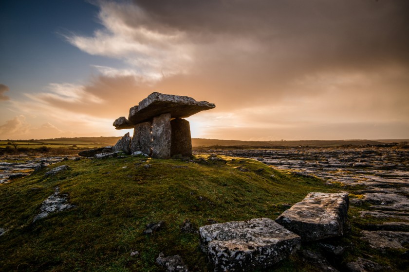
This route will take you around 35 minutes by car.
- From Ennis follow the road signs for Lahinch, Burren region and Corofin.
- Drive towards (2.5 kilometres) Claureen roundabout and take the second exit signposted Corofin/Burren.
- Drive on the R476 road for 17.3 kilometres, take a right at Leamaneh Castle.
- Drive onto the R480 and travel straight onwards (pass Caherconnel Fort) until you arrive at Poulnabrone on your right-hand side.
Directions from Cliffs of Moher to Poulnabrone
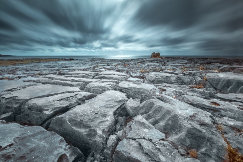
This is the quickest route from the Cliffs of Moher, it should take around 35 minutes in a car.
- Leave the Cliffs of Moher travelling towards Doolin direction and the R478 road
- Drive on the R478 for 10.3 kilometres towards Kilfenora
- Pass through the village of Kilfenora
- Take a left turn at Leamaneh Castle onto R480
- Continue on this road until you see Poulnabroune on your right-hand side
Directions from Galway to Poulnabrone
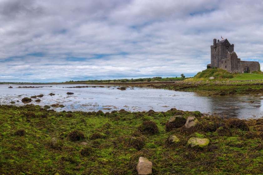
This route from Galway to Poulnabrone is quite scenic and has a number of interesting things to see on route.
- Leave Galway and follow signs for N67 motorway
- Drive towards Oranmore
- Follow the N67 towards Clarinbridge
- Follow the sign for Kilcolgan, take a right turn for the Burren, Cliffs of Moher
- Follow signs for Kinvarra
- Follow N67 road towards Ballyvaughan
- Follow N67 road outside Ballyvaughan and take a left onto R480 road
- Follow R480 for 7.6 kilometres to Poulnabrone, you will see it on your left-hand side.
Information about Poulnabrone
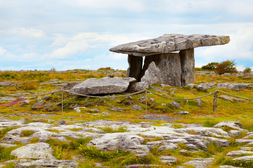
Poulnabroune is a FREE site to visit, its an amazing tourist attraction dating back thousands of years, the tomb was in used as a burial site for 500 to 600 hundred years.
The site is run by the OPW in Ireland, it’s one of Ireland’s oldest known sites that has been examined by a team of archaeologists. The team excavated Poulnabrone in the 1980s and found some very interesting stuff.
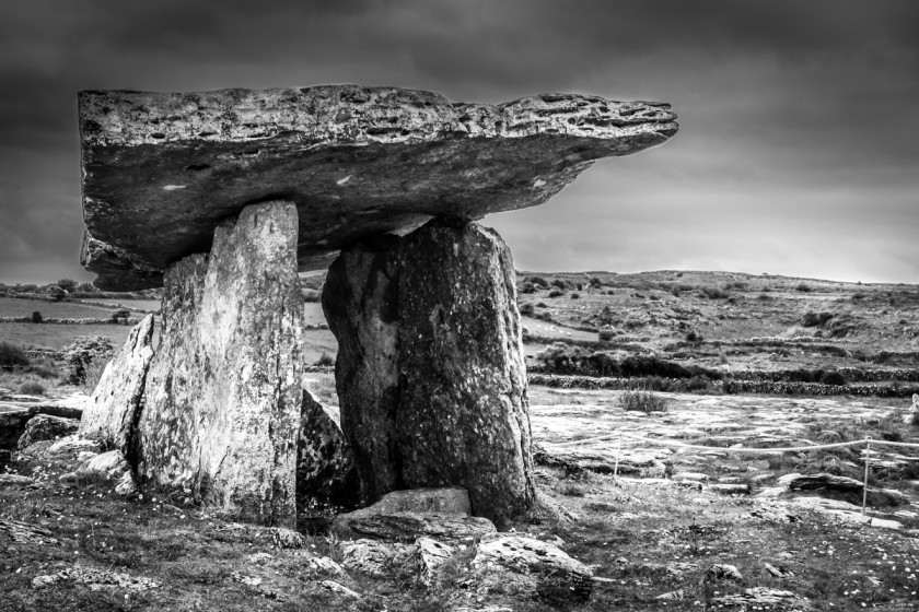
They found the remains of bodies of men, women and children, they dated the radiocarbon on the bones they found back to 5800 years ago. The tomb is encircled with rope and you can’t go inside the rope, this is to protect the site from any damage. You can take photos and explore the whole area.
See my article on the Burren Ireland here!
Information Displays
There are a number of information displays on the way into the portal tomb. These informational points have info about the Burren region, flora, wildlife and the landscape of the Burren region. There is information about the history of the site, and the use of the site as a burial ground.
I hope you find this article useful, I welcome any suggestions or recommendations by email to info@allthings-ireland.com.
Thanks
John Conway
All Things Ireland
Recent Posts
Unraveling the Enigma: Exploring the History and Symbolism of Celtic Knots
The Origins of Celtic KnotsThe intricate artistry of Celtic knots holds a rich history that dates back centuries to the Celtic tribes of ancient times. These ancient peoples, with their strong...
Researching Budget-Friendly Accommodation OptionsWhen planning a budget-friendly trip, one of the key aspects to consider is finding affordable accommodation. Start your search by exploring options...
